

The Lower Platte River Corridor Environmental Sustainability Assessment (ESA) was a multi-phase effort that developed a planning framework for responsible, consistent, and sustainable development in the Lower Platte River Corridor. The LPRCA, with their lead consultant HDR, met with the many stakeholders in the Corridor to discuss land use issues and concerns--both now and in the future--as well as information needs. From those meetings, the next steps were to assemble environmental and natural resource-related information to meet those needs and to use that assembled information to develop an interactive GIS viewer and report to assist decision makers. A second major piece of the ESA was the development of a Land Suitability Assessment (LSA). The LSA added "metrics" to the accumulated natural resource and planning information to better assist stakeholders in understanding the effect land use changes can have on water quality, wildlife habitat/land conservation, agriculture, and recreation in specific areas of the Corridor. Importantly the ESA has become a planning framework for the LPRCA as well. The ESA is used to help the LPRCA identify and prioritize projects. The goal is to incorporate data from our many diverse projects into the ESA viewer to continue our understanding and our stakeholders' understanding of the many important and diverse resources of the Lower Platte River. Each phase of development in the ESA effort is detailed below. Links to the report and GIS viewer also found below. Please let us know if you have questions or have additional information that we may be able to include in this important planning tool.
-
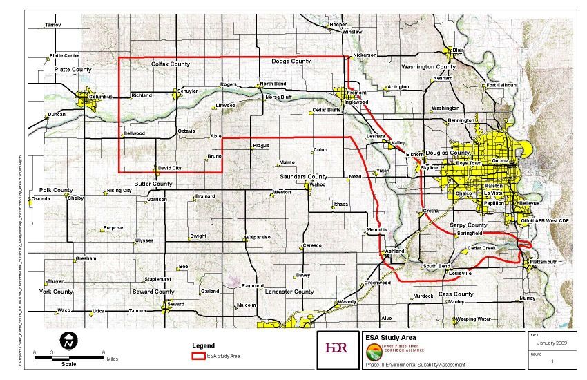
ESA Study Area
Phase I
Phase I of the ESA consisted of data identification, collection, evaluation, and organization. Data acquisition included: land-use plans, natural resources, water supply and wastewater management, and infrastructure for the entire Lower Platte River Corridor. Phase I was completed in March 2006.
The information that was gathered in Phase I was analyzed and mapped to create a coordinated, corridor-wide planning resource that evaluates issues such as floodplains, natural communities, protected lands, wellhead protection areas, and planned roadway improvements.
Phase II
Phase II covered the area from Fremont to the lower Platte River's confluence with the Missouri River. The purpose of this phase was to:
-
assess existing natural resources and environmental features
-
identify environmental considerations relative to development suitability
-
provide key decision-making criteria for land use decisions
As part of this phase, local planning jurisdictions, environmental resource managers, utility companies, and aggregate mining companies were surveyed to gather input and identify environmental features that affect their specific land use planning and decisions. This phase was completed in August 2008.
Phase III
The same activities that occurred in Phase II were repeated for the lower Platte region from Columbus to Fremont. In addition, a Land Suitability Analysis (LSA) model was developed in Phase lll. This model provides a planning tool to determine the suitability for various types of land-use including recreation, water quality or supply, land conservation, and agriculture. The purpose of this model is to provide a way to identify, classify, and prioritize land in order to promote sustainable land-use plans and decisions.
Access to the LSA and ESA model's are available on the NRD MapMaker system located at the LPNNRD website. For a direct link to the LSA/ESA interactive GIS program, click here. A copy of the final report can be viewed here.